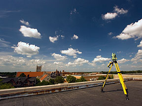
 GPS Survey
The Accuracy You Need With Advanced GPS Surveys in New Hampshire
GPS as it relates to surveying, is typically used to tie your property or proposed development onto various coordinate systems. This usually includes Town GIS systems and vertical datums for Flood Plain Certificates.
“When Might I need GPS Surveying?”
Combining state of the art technology with surveying expertise, we give you surveying results you can absolutely count on. Whether you are hiring us for a Flood Plain Certificate or a Subdivision, accuracy is the key, and we deliver it.
For more information on GPS Surveying in New Hampshire, please don't hesitate to contact us.
